Construction Drone M
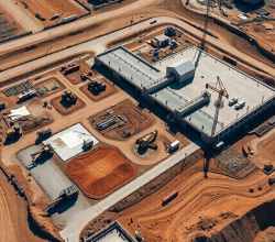
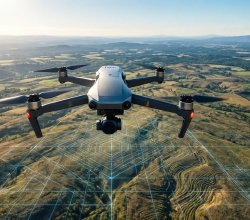
Construction drone mapping means flying a drone over a job site, capturing overlapping images, and processing them into accurate maps, surface models, and volume measurements. Service providers can run that processing in the cloud, so no GPU workstation is needed. This guide covers capture settings, outputs, workflow, and how to compare tools for earthwork, progress […]
USA