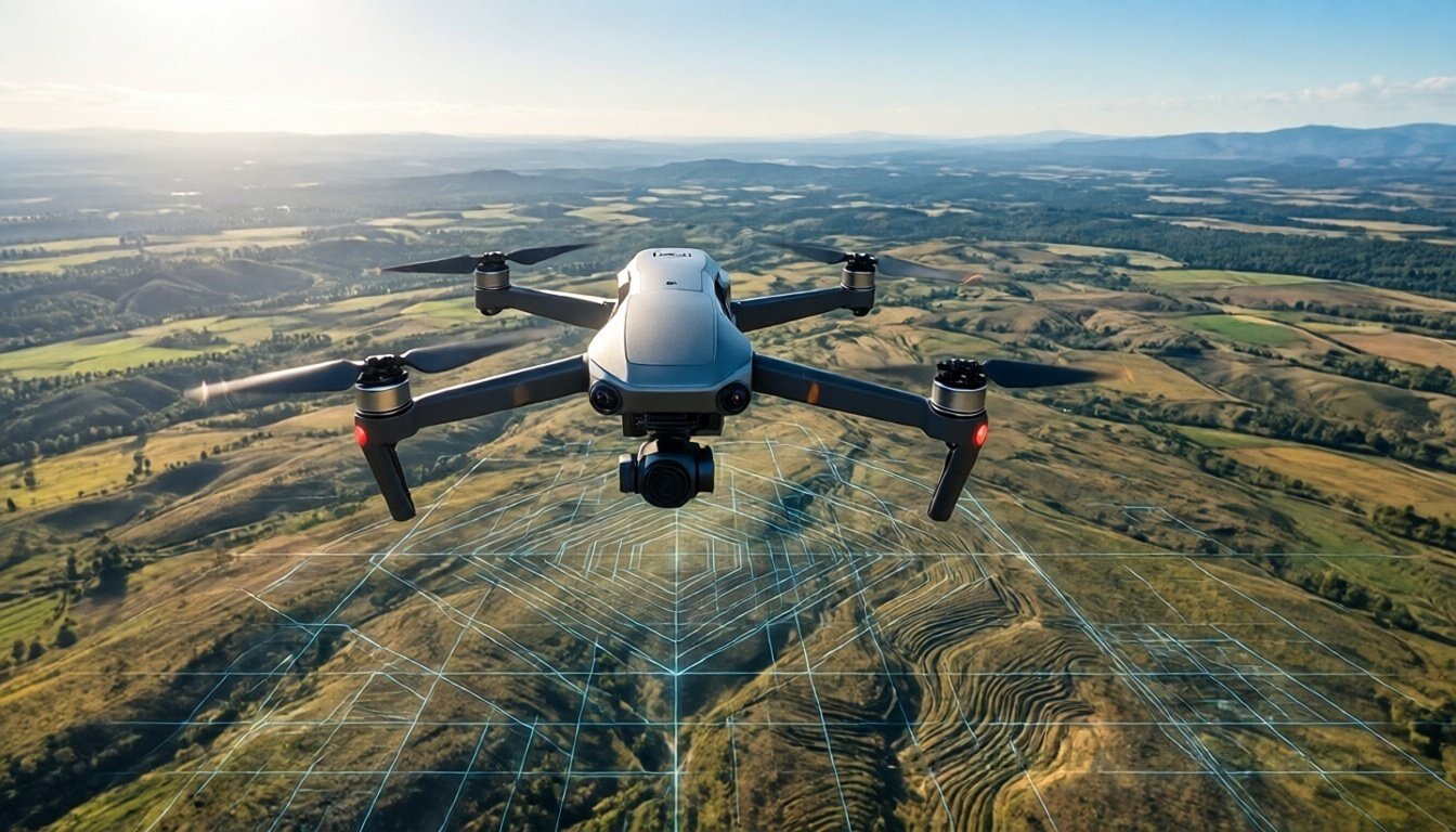
In the ever-evolving urban landscape of New Delhi, construction projects are becoming more sophisticated and intricate. The need for precise survey services has never been greater. Among the various methodologies for construction surveying, drone mapping has emerged as a revolutionary technique, providing accurate data efficiently and effectively. Aeroyantra Technologies Private Limited is at the forefront of this technological advancement, offering comprehensive construction survey services that leverage drone mapping technology to elevate project outcomes.
Understanding Drone Mapping
Drone mapping employs unmanned aerial vehicles (UAVs) equipped with advanced imaging technology to capture high-resolution aerial photographs of construction sites. These images are then processed using sophisticated software to produce detailed maps and models that can be utilized in various stages of construction, from planning and design to monitoring and maintenance.
Benefits of Drone Mapping in Construction
- Precision and Accuracy
Traditional surveying methods can be time-consuming and prone to human error. Drone mapping provides precise measurements ensuring that even the smallest details are captured accurately. With the ability to cover large areas quickly, this technology minimizes inaccuracies and enhances the reliability of site data. - Time Efficiency
With drones, project managers can complete surveys in a fraction of the time it would take using conventional methods. What might require days can now be accomplished in hours, allowing your project to stay on schedule and within budget. - Cost-Effective
Drone mapping reduces the overall cost of surveying. By decreasing the time spent on-site and minimizing labor hours, businesses can allocate their budgets more effectively. This efficiency translates into significant savings for construction companies of all sizes. - Real-Time Data Collection
Drones provide the capability to gather data in real time, allowing project managers to make informed decisions without delay. With instant access to maps and data, modifications to the construction plan can be quickly implemented, ensuring the project continues smoothly. - 3D Models and Detailed Reports
Drones can create 3D models of construction sites, providing an invaluable reference for architects and engineers. These detailed models allow for better visualizations during the planning phases, making it easier to foresee potential design issues and modifications.
The Aeroyantra Advantage
Aeroyantra Technologies specializes in providing top-notch drone mapping services tailored for construction projects in New Delhi. With cutting-edge technology and a team of experienced professionals, we ensure that our solutions meet the highest industry standards.
Comprehensive Surveying Services
At Aeroyantra, we offer a range of drone mapping services, including:
- Site Surveying
We conduct comprehensive site surveys to gather essential data before construction begins. Our surveys provide high-resolution images that can be used for initial planning and zoning approvals. - Progress Monitoring
Keeping track of construction progress is vital. Our drone surveys facilitate regular updates on project status, allowing stakeholders to visualize development and ensure that timelines are being met. - Topographic Mapping
Topographic maps generated from drone data help to analyze the physical features of the land, including contours and elevations. This information is important for effective planning and reducing project costs. - Stockpile Measurement
For projects that involve large quantities of materials, drone mapping can provide accurate stockpile measurements. This reduces discrepancies in inventory management, ensuring that resources are utilized efficiently. - Post-Construction Analysis
After project completion, we can conduct drone surveys to assess the overall quality and compliance of the work done. This service is crucial for identifying any structural inconsistencies or areas that may need attention.
How It Works
The process of drone mapping at Aeroyantra Technologies involves several key steps:
- Initial Consultation
We begin with an in-depth consultation to understand your project’s requirements, objectives, and specific challenges. - Planning and Preparation
Our experienced team develops a detailed flight plan based on the site’s topography and the unique characteristics of the construction project. - Drone Operation
During the survey, our skilled operators fly the drones over the designated area, capturing thousands of images that are sent back to our servers for processing. - Data Processing and Analysis
The collected data is processed using advanced software to create high-resolution maps, 3D models, and volumetric reports. - Delivery of Results
We provide you with comprehensive reports and visualizations, allowing for thorough analysis and next steps in your construction project.
FAQs
1. What type of projects can benefit from drone mapping?
Drone mapping can benefit a wide variety of projects, including residential, commercial, industrial, and infrastructure developments. It is applicable in any scenario where accurate mapping and data collection are critical.
2. How does drone mapping compare to traditional surveying methods?
Drone mapping is typically faster, more cost-effective, and provides higher precision compared to traditional methods. It allows for real-time data acquisition and comprehensive mapping, which significantly enhances project management.
3. Are there regulations for using drones in construction surveying?
Yes, there are regulations governing the use of drones in India. Aeroyantra Technologies ensures compliance with all necessary legal requirements and safety protocols to operate drones safely and effectively.
4. Can you provide drone mapping services outside New Delhi?
Currently, our primary focus is in New Delhi. However, we are expanding our services and may cover other regions in the near future. Please reach out to us for more information if you’re located outside New Delhi.
5. What are the costs associated with drone mapping?
Costs can vary based on the size and complexity of the project. Our team will provide a customized quote after assessing your specific requirements during the initial consultation.
Conclusion
Drone mapping is redefining the landscape of construction surveying in New Delhi. With its ability to provide accurate, real-time information, it is fast becoming the go-to solution for construction companies looking to streamline their processes and improve project outcomes. Aeroyantra Technologies Private Limited is proud to be a leader in this innovative field, and we are committed to delivering exceptional service that meets the evolving needs of the construction industry.
For more information on our drone mapping services and to schedule a consultation, visit Aeroyantra Technologies Private Limited or contact us at +91 6362146920. Let’s take your construction project to new heights with drone mapping!