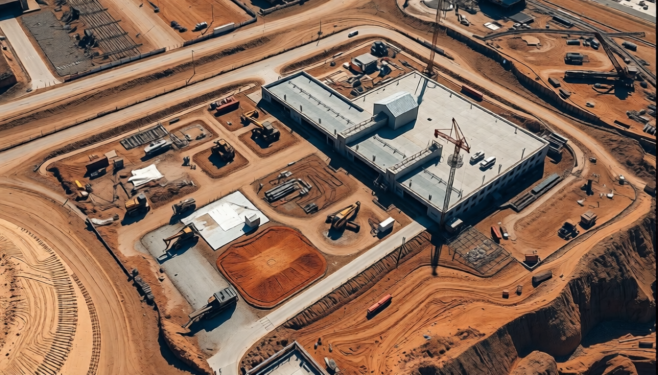
In the realms of construction and land development, accurate data is key to a successful project. One essential service that ensures exact measurements and a comprehensive understanding of land features is the topographical survey. At Aeroyantra Technologies Private Limited, we specialize in providing professional topographical survey services that cater to the diverse needs of our clients.
Understanding Topographical Surveys
A topographical survey is a detailed mapping of the land’s surface, showcasing the various features such as elevations, depressions, roads, boundaries, and other significant landmarks. Utilizing advanced drone technology combined with state-of-the-art surveying techniques, Aeroyantra provides precise data that is crucial for architects, engineers, planners, and developers. Our commitment to detailed and accurate surveys allows for better planning, efficient resource allocation, and reduces potential roadblocks during the construction process.
Why Topographical Surveys are Important
- Precision Planning: Topographical surveys offer critical data that informs decisions throughout the construction process. Understanding the land’s contours helps identify suitable locations for buildings, roads, and other structures.
- Cost-Effective Solutions: By using topographical surveys, developers can avoid unforeseen expenses linked to land issues. Accurate surveying minimizes the risks associated with land development and enables more precise budgeting for projects.
- Regulatory Compliance: Many jurisdictions require topographical surveys for permit applications. Our services ensure that clients meet all local regulations, making it simpler to navigate the complexities of the permitting process.
- Enhanced Visualization: Understanding the lay of the land through topographical maps aids stakeholders in visualizing the project. This clarity helps in better communication with clients, contractors, and local authorities about the proposed developments.
- Environmental Considerations: Topographical surveys can reveal sensitive ecological areas, drainage patterns, and other environmental factors that must be taken into account during development. Our surveys provide valuable insights that promote sustainable practices.
The Aeroyantra Advantage
At Aeroyantra Technologies, we utilize advanced drone technology for our topographical surveys. Drone surveys drastically reduce the time required to collect data compared to traditional methods. They improve safety by minimizing the need for personnel to access potentially hazardous locations. Our highly skilled team of professionals is dedicated to delivering accurate and precise results, which have earned us a reputable standing in the industry.
Our Process
- Site Assessment: We start with a thorough assessment of the site to identify specific requirements. This allows us to tailor our approach based on the individual needs of each project.
- Data Collection: Using drones, we capture high-resolution images and data points across the area. Drones can access challenging terrains, enabling comprehensive data collection even in hard-to-reach areas.
- Analysis and Reporting: We analyze the collected data using advanced software that generates detailed topographical maps and reports. This information is crucial not only for the immediate project at hand but can also serve future reference.
- Client Collaboration: Throughout the surveying process, we maintain open lines of communication with our clients. This collaboration ensures that our services align closely with their visions and requirements.
- Post-Survey Support: After delivering the survey results, our team provides ongoing support. Whether it’s clarification on the survey data or further assessments, we are here to help.
Applications of Topographical Surveys
The application of topographical surveys is versatile and spans various sectors:
- Residential Development: Understanding elevations and slopes aids in the design and placement of homes.
- Commercial Projects: Architects and designers need accurate topographical data to create functional and aesthetically pleasing buildings.
- Infrastructure: Roads, bridges, and other public works require detailed surveys to ensure safety and longevity.
- Agriculture: Farmers can gain insights on land features to optimize irrigation systems and agricultural practices.
FAQs
1. What is the cost of a topographical survey?
The cost can vary significantly based on project size and complexity. At Aeroyantra, we provide customized quotes to give our clients the best value for their needs.
2. How long does a topographical survey take?
The duration of a topographical survey depends on the size of the area and the level of detail required. Typically, drone surveys can be completed in a fraction of the time of traditional methods.
3. What equipment do you use for topographical surveying?
We utilize advanced drone technology coupled with high-resolution cameras and surveying tools to capture accurate data.
4. Are your surveys compliant with local regulations?
Yes, all our topographical surveys are conducted in compliance with local regulations to ensure they meet the necessary legal requirements for permit applications.
5. Can I use the survey results for future projects?
Absolutely! Our detailed topographical maps serve as valuable references for any future land development or construction projects.
Conclusion
Aeroyantra Technologies Private Limited offers comprehensive topographical survey services essential for construction and land development. With our cutting-edge technology, expert analysis, and commitment to client satisfaction, we are poised to assist with your surveying needs. By choosing us, you invest in accurate and reliable data that drives successful outcomes for your projects.
For inquiries or to request a quote for our topographical survey services, please contact us at +91 6362146920 or visit our website at https://www.aeroyantra.com/. Your vision is our mission, and we look forward to helping you build a solid foundation for your future developments.